DUBAI’S MOUNTAIN ENCLAVE

Find
your line.

HATTA, UAE

Not a list of places.
A route through terrain, water and memory.

LIVE ELEVATION312 M
SCROLL TO ASCEND

One mountain.Five ways into Hatta.

DRAG TO ORBIT   /   SELECT A LANDMARK   /   WATCH THE TERRAIN RESPOND

24.8007° N / 56.1243° ELIVE RELIEF · HATTA, UAE
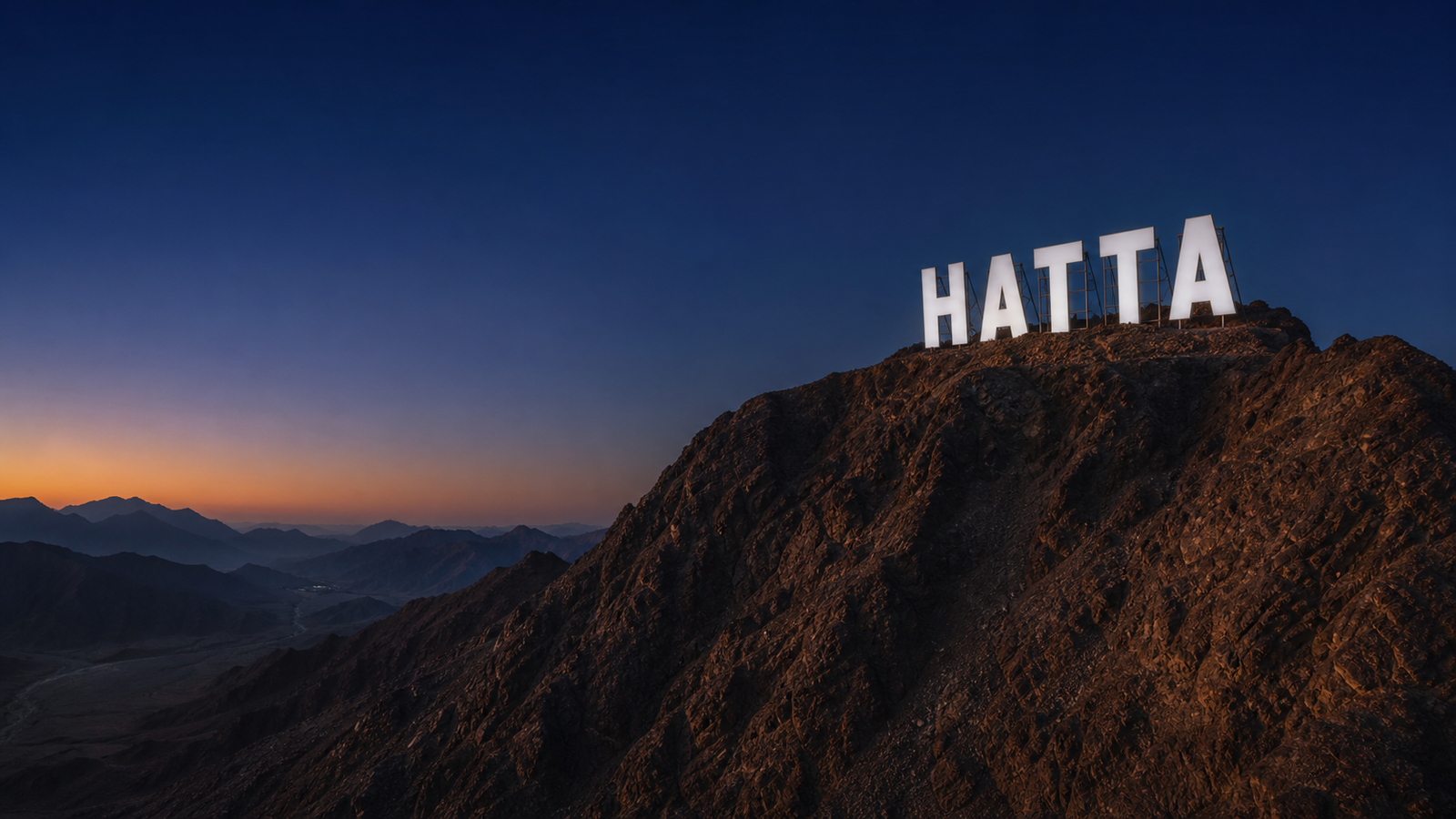
Summit Sign, Hatta
ZONE 0124.8084° N / 56.1371° E
01

SUNRISE ASCENT

The letters above the valley.

Hatta’s illuminated landmark crowns the mountain and turns a short ascent into the destination’s most recognisable arrival.

0130 MIN HIKE02450 M ELEVATION03NIGHT ILLUMINATION

01020304

THE LANDMARK

Begin beneath the letters.

A 30-minute ascent leads to Hatta’s illuminated summit sign—visible across the mountain enclave.

Choose the feeling.
We'll shape the route.

FOR THE RESTLESS

Take the high line.

A two-day route across Hatta’s sharpest terrain—built around early starts, technical descents and water at the finish.
DAY 01LIVE ROUTE
Summit approach6.8 KM · HARD
01
Black trail descent12.4 KM · EXPERT
02
Reservoir kayak90 MIN · OPEN
03

Know the terrain before it knows you.

NOW · HATTA WADI HUB24°

Clear / light north-easterly wind

05:4318:51
TRAIL STATEOPEN

Black route dry

WATER22°

Low surface wind

LAST LIGHT18:27

Return by 18:10

ROUTE PRESSURELOW

Best window: now

Conceptual live data shown for demonstration.

The oldest line
is the one that
carries water.

Follow the falaj from mountain spring to village shade. Meet the farms, crafts and stories it still sustains.

YOUR LINE IS WAITING

Leave the city.
Keep the signal.

HATTA / DUBAI / UAE90 MIN FROM THE CITY
Digital Alta

A destination experience concept by Digital Alta.

NEED AN EXPERIENCE LIKE THIS? BUILD WITH DIGITAL ALTA ↗